
If you work as a developer for the marine industry, keep on reading to find out how you can better follow and optimize maritime routes, all with the help of a vessel finder API!
The maritime industry plays a crucial role in global trade and transportation, with more than a hundred thousand ships navigating the world’s oceans every day. Efficient maritime routes are essential for optimizing shipping operations and improving the overall safety and security of vessels. In recent years, the use of Application Programming Interfaces (APIs) that track ships has revolutionized the way maritime routes are followed and improved. These vessel finder APIs offer numerous benefits, including real-time vessel tracking, data-driven decision-making, and seamless integration into apps or websites, making them a valuable tool for the maritime industry.
Real-time vessel tracking is one of the primary advantages of using ship finder APIs. With these APIs, shipping companies, port authorities, and other stakeholders can monitor the location, speed, and direction of vessels in real time. This allows for better visibility and control over maritime operations, enabling companies to proactively respond to any incidents or delays, and optimize routes based on real-time data. For example, if a ship encounters unfavorable weather conditions, a vessel finder API can provide information on alternate routes, helping the vessel avoid potential hazards and reduce risks.

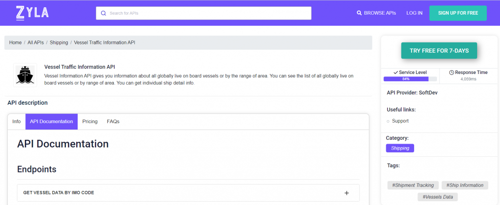
Since keeping up with the most up-to-date routes at sea can be the difference between a successful maritime operation and a failing one, the importance of picking the right tool for the job is paramount. This is why we recommend Zyla’s Vessel Traffic Information API, one of the most versatile tools in the market today.
How Does This API Work?
Vessel Traffic Information API is a very powerful tool that has three main ways to be operated, each mode results in different types of output, which can in turn be used to satisfy different needs:
- GET VESSEL DATA BY IMO CODE: with this mode, you need a ship’s IMO code as input, and as output, you’ll get information on the ship in question, such as its location, and general information about it, as its length, it’s maxing draught, the year it was launched, and more.
- GET CURRENT ROUTE BY IMO CODE: with this function, which also requires an IMO code, you’ll get information like the departure port and destination of a particular ship.
- GET POSITION: this function asks for a particular set of coordinates, that is, latitude and longitude, and as output, you’ll get a list of all the ships that happen to be in that area.
To give an example of how this API works, here’s the output for the second option, if one would want to check the current route of the passenger ship Oasis Of The Sea (IMO 9383936):
{
  "status": 200,
  "success": true,
  "message": "IMO Code 9383936 is valid",
  "data": {
    "departure_port": "Roatan, Honduras",
    "departure_atd": "ATD: Apr 13, 21:20 UTC (21 hours ago)",
    "callsign": "C6XS7",
    "flag": "Bahamas",
    "length_beam": "360 / 60 m",
    "imo_mmsi": "9383936 / 311020600",
    "navigation_status": "-",
    "current_draught": "9.3 m",
    "course_speed": " ",
    "arrival_port": "COSTA MAYA",
    "arrival_atd": "ETA: Apr 14, 11:00",
    "latest_port_calls": [
      {
        "port_name": "Roatan, Honduras",
        "arrival_utc": "2023-04-13T12:32:00.000000Z",
        "departure_utc": "2023-04-13T21:20:00.000000Z",
        "time_in_port": "8 hours, 48 minutes"
      },
      {
        "port_name": "Cozumel, Mexico",
        "arrival_utc": "2023-04-12T11:11:00.000000Z",
        "departure_utc": "2023-04-12T22:58:00.000000Z",
        "time_in_port": "11 hours, 47 minutes"
      },
      {
        "port_name": "Port Everglades, United States (USA)",
        "arrival_utc": "2023-04-11T03:03:00.000000Z",
        "departure_utc": "2023-04-11T04:11:00.000000Z",
        "time_in_port": "1 hours, 8 minutes"
      },
      {
        "port_name": "Little Stirrup Cay, Bahamas",
        "arrival_utc": "2023-04-10T12:01:00.000000Z",
        "departure_utc": "2023-04-10T20:37:00.000000Z",
        "time_in_port": "8 hours, 36 minutes"
      },
      {
        "port_name": "Miami, United States (USA)",
        "arrival_utc": "2023-04-09T06:25:00.000000Z",
        "departure_utc": "2023-04-09T20:59:00.000000Z",
        "time_in_port": "14 hours, 34 minutes"
      }
    ]
  }
}
Seamless integration into apps or websites is a key advantage of Vessel Traffic Information API. It is designed to be easily integrated into various applications or websites, making it simple for companies to incorporate ship tracking functionality into their existing systems, and as it’s clear, it’s a very accurate and powerful tool, which you can try out the following these simple steps:
1- Go to Vessel Traffic Information API and simply click on the button “Try Free For 7-Days” to start using the API.
2- Employ the different API endpoints depending on what you are looking for.
3- Once you meet your needed endpoint, make the API call by pressing the button “run” and see the results on your screen.