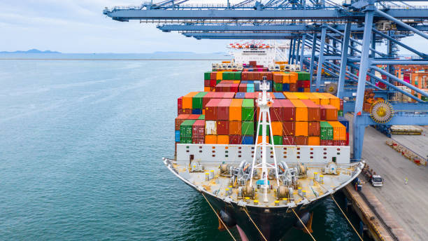
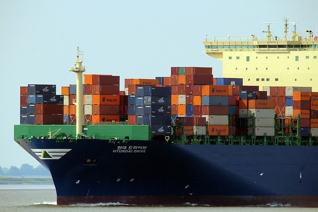
The ability to track vessels and their movements is vital to all maritime industries, including shipping, fishing, and tourism. But keeping track of all those vessels can be a challenge.
Users in these fields of sea trading need applications that can furnish updated information about vessels, and that´s the job for developers: to devise tools to ease down the process. What they need is a vessel traffic information tool to start developing tailored software as per their clients´ request.
Vessel Traffic Information API is a powerful tool that can help improve the way to manage maritime traffic. With this API, one can get real-time information about any vessel in the world, including its position, course, and speed. The user can also get information about a particular ship, including its name, IMO number, flag state, owner, builder, location, speed and heading, and shipyard. Likewise, the user can get data about the vessel size and its condition.
This API can be used for a wide range of purposes, including maritime security, safety and environmental protection. It can also be used to monitor vessel traffic in a specific area or to track the movements of specific vessels.
A VTA API is a software that allows to track vessels and their movements in real-time. It can be used to get information on specific vessels, globally or in certain areas. The gathered data helps improve maritime safety and security, as well as to monitor environmental impacts from ship emissions. It also assists in improving efficiency and productivity. This data can be used to optimize routes and schedules, as well as to detect delays or problems with vessels or ports.
How Do Vessel Traffic Information APIs Work?
Vessel Traffic Information API uses radar data from satellite-based AIS (Automatic Identification System) transponders on board ships. This data is then aggregated and made available via an API for use by applications and websites. AIS transponders send out signals that contain information about a ship’s identity, position, course, and speed. These signals are picked up by AIS receivers, which are usually mounted on land-based towers or ships. The data is then sent to an AIS database where it is stored until it can be made available via an API. All this process is automated, so the response comes in no time!
There are many different types of Vessel Traffic Information APIs, each with its own set of features and capabilities. Some Vessel Traffic Information APIs focus on tracking commercial vessels while others focus on tracking recreational vessels. Some Vessel Traffic Information APIs are more focused on tracking specific types of vessels (such as passenger ships or cargo ships).
The API is easily integrated into any system or application, to enhance real-time situational awareness, Track&Trace or to monitor vessel performance. The data it retrieves includes IMO, MMSI, flag, name, length, width, type, call sign, ETA, destination and last known position.
How To Get Started With This API
Counting on a subscription on Zyla API Hub marketplace, just start using, connecting and managing APIs. Subscribe to Vessel Traffic Information API by simply clicking on the button “Start Free Trial”. Then meet the needed endpoint and simply provide the search reference. Make the API call by pressing the button “test endpoint” and see the results on display. The AI will process and retrieve an accurate report using this data.
Vessel Traffic Information API examines the input and processes the request using the resources available (AI and ML). In no time at all the application will retrieve an accurate response.
By choosing an endpoint in the API (GET VESSEL DATA BY IMO CODE, GET CURRENT ROUTE BY IMO CODE or GET POSITION) and then inputting the identification number of the vessel, the software will output a full report with all the necessary information. In this case the endpoint is Get Route By IMO Code and the vessel is 9251183. The response will look like this:
{
"status": 200,
"success": true,
"message": "IMO Code 9251183 is valid",
"data": {
"departure_port": "Aspropirgos, Greece",
"departure_atd": "ATD: Mar 20, 13:47 UTC",
"callsign": "V7A4876",
"flag": "Marshall Islands",
"length_beam": "119 / 19 m",
"imo_mmsi": "9251183 / 538009548",
"navigation_status": "Under way",
"current_draught": "4.6 m",
"course_speed": " ",
"arrival_port": "Canakkale, Turkey",
"arrival_atd": "ETA: Mar 27, 22:00",
"latest_port_calls": [
{
"port_name": "Aspropirgos, Greece",
"arrival_utc": "2023-03-18T13:34:00.000000Z",
"departure_utc": "2023-03-20T13:47:00.000000Z",
"time_in_port": "2 days, 13 minutes"
},
{
"port_name": "Eleusis Anch., Greece",
"arrival_utc": "2023-03-18T08:47:00.000000Z",
"departure_utc": "2023-03-18T13:19:00.000000Z",
"time_in_port": "4 hours, 32 minutes"
},
{
"port_name": "Romano, Albania",
"arrival_utc": "2023-03-15T06:46:00.000000Z",
"departure_utc": "2023-03-16T06:21:00.000000Z",
"time_in_port": "23 hours, 35 minutes"
},
{
"port_name": "Vlora, Albania",
"arrival_utc": "Mar 13, 21:14",
"departure_utc": "-",
"time_in_port": "-"
},
{
"port_name": "Alexandria, Egypt",
"arrival_utc": "2023-03-09T17:49:00.000000Z",
"departure_utc": "2023-03-10T15:17:00.000000Z",
"time_in_port": "21 hours, 28 minutes"
}