In the future, vehicles and robots will learn to use their software to learn autonomously in networked cities. In a pilot project in Berlin, Startup Artisense is currently putting its technology to the test with partners in cooperation with partners – thereby setting a standard in the industry.
Thanks to sophisticated algorithms, the software creates novel 3D maps with comparatively little effort. Elaborate and photorealistic 3D images do not need it, even expensive hardware can be dispensed with. “We want to help to rethink mobility, and put ourselves at the forefront of development,” says Till Kaestner, co-founder of Artisense.
Machines will learn to see things the way humans do
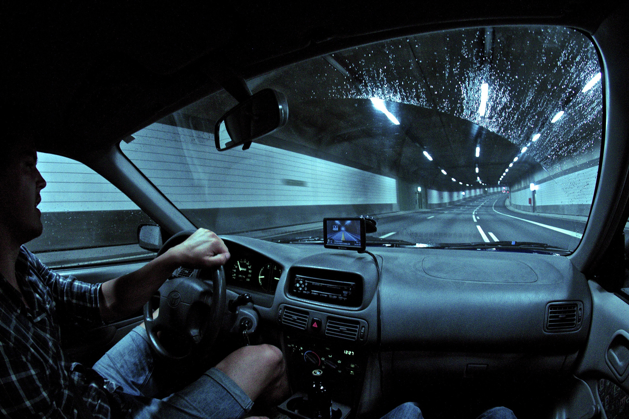
The goal is to enable machines to see how people look, says Kaestner. And: “The big ones can not do what we can do.” Unlike concepts based on photorealistic representations for the human eye, the software of the Artisense tinkerers creates a complete street image in a 3D cloud of single dots while driving. Big picture files are passé. Artificial intelligence enables dynamic 3D mapping and localization in real time on the map, explained Kaestner. The calculations could be done in a conventional computer in the car, a GPS signal is not required – not even the use of expensive sensors such as lidar systems.
How can vehicles actually move autonomously in dense traffic in cities? An entire range of companies is currently working intensively on the basis for this. For the surveying of the world, such industry figures as Here, TomTom or Google have been creating extensive maps for years. Instead, they drive vehicles equipped with laser radars (Lidar), other powerful sensors and cameras through the streets.
High-precision data is the main goal
The important thing is that the result is high-precision maps that are enriched with additional data in real time. This allows autonomous vehicles to react to unforeseen things in traffic. One of the challenges, however, is the handling of very large amounts of data resulting from the photorealistic images. Competitors such as Intel’s Mobileye have developed special chips and algorithms for data usage. And the Californian company CivilMaps uses so-called Edge Computing for the handling of the data mountains, in which the data can no longer be processed centrally in the cloud, but rather decentrally.
The company Artisense around the Munich Professor Daniel Cremers uses for their recordings, unlike other approaches quite simple hardware, which can also be integrated in principle in every car – and according to Kaestner is much cheaper. The equipment of the first vehicles, which sent Google for their Streetview maps on the road at that time, had cost approximately half a million dollar, says Kaestner. “On the other hand, our hardware fits into every car and is already about 100 times cheaper.” At the heart of the system are software and artificial intelligence. It first makes it possible to generate realistic and computer-readable 3D models of the environment in real time.
Berlin, a big first challenge
In Berlin, the developers have found partners via Deutsche Bahn’s open innovation platform “Beyond1435”. The pilot project also includes Siemens, Bombardier and the recycling company Alba. Bombardier is concerned with the further development of safer rail systems, better obstacle, and hazard detection or self-learning driver assistance systems. “Our main concern is road safety,” says Carla Eysel, digital expert and member of the management team at Alba. “When cars and trucks, such as our disposal vehicles, navigate safely, autonomous driving has a great future.”
Artisense, headquartered in Palo Alto and with offices in Munich, was founded in 2015 as a spin-off of the Technical University of Munich. CEO Andrej Kulikov brings more than 15 years in the automotive industry, including at Audi.
Since January, the vehicles equipped with Artisense technology are on the way for mapping the Greater Berlin area, and by March the pilot phase with the 3D mapping is scheduled. “We are very satisfied with the progress of the pilot project,” says Kaestner. “Every day we drive around 400 kilometers in the streets of Berlin with our vehicles.” The technical systems were robust and the quality of the sensor data and 3D reconstructions was promising. “Now it is important to complete the mapping of Berlin as seamlessly as possible and then continue to work on the concrete application scenarios with captured sensor data.”