Earthquakes can be devastating, both in terms of loss of life and property as well as in terms of economic impact. They can also be hard to predict, making it difficult to prepare for them. However, there are some warning signs that an earthquake may be coming. One of these is the occurrence of small tremors known as “foreshocks”. If we’re able to detect these tremors, we may be able to predict an upcoming earthquake and take measures to prevent loss of life and property damage.
One way to detect these tremors is by using an earthquake prediction API. This is usually a web service that allows us to monitor earthquake activity and detect tremors in real time. It can also provide information on past earthquakes as well as information on risk factors for earthquakes in different regions. There are a few options out there, but the best one is the Earthquake Tracker API.

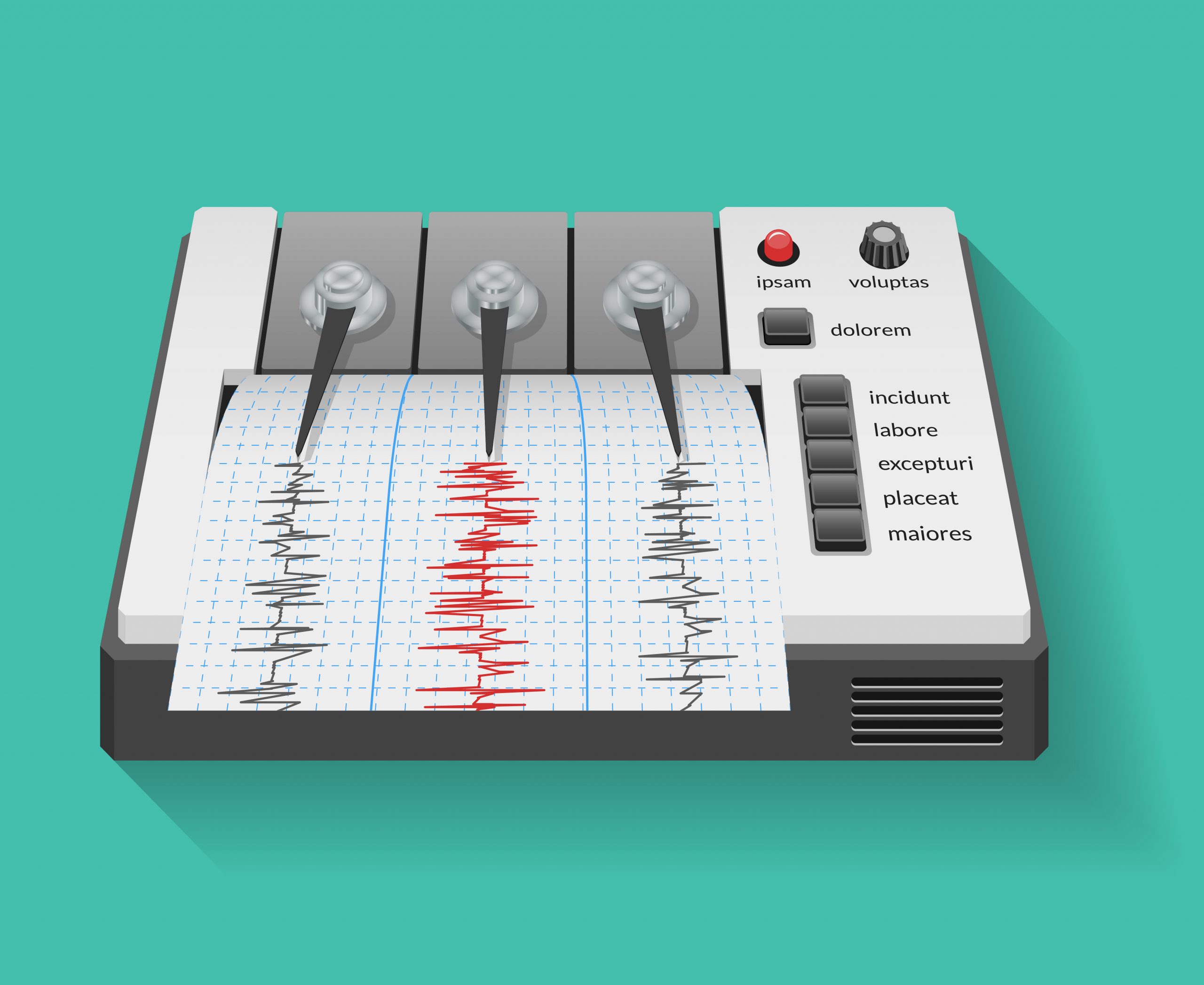
Earthquake Tracker API
The Earthquake Tracker API is a great alternative for developers. They can add it to their applications or their customers’ applications without having to develop the whole system from scratch. It is much easier to add a microservice API than create a new one, especially one that might be outside your expertise. Very specific APIs like this earthquake prediction API can take months or years to develop. Therefore, having a trustworthy solution helps developers save time and keep customers.
The Earthquake Tracker API is the best option to getting real-time earthquake data. This API allows you to easily get up-to-date information on earthquakes happening all over the globe. You can keep up with the most recent earthquakes globally or keep up with earthquake data chronologically. You might obtain information about things like magnitude, location, depth, and more.
Try It Out And Integrate It Into Any System
To try the Earthquake Tracker API, do the following:

- Join the Zyla API Hub and obtain your personal API key.
- Subscribe to the Earthquake Tracker API. It is as simple as clicking the “Subscribe” option to begin using the API. Choose the plan that better fits your needs and make use of the 7-day free trial to learn more about this API.
- Locate your required endpoint; using the endpoint “Get latest earthquakes worldwide,” you will obtain the most recent earthquake data from around the world. On the other hand, using the endpoint “Earthquake by date,” you can get the 100 most recent earthquakes from around the globe within a given date range.
- Once you meet your needed endpoint, make the API call by selecting the “test endpoint” button.
- View the results on your screen. For example, by using “Get latest earthquakes worldwide” on March 26, 2023, we received a quite long response. Here is only a fragment of it:
 ..."id": "ak0233wu9l4t",
      "magnitude": "3.7",
      "type": "earthquake",
      "title": "M 3.7 - 8 km WSW of Kasilof, Alaska",
      "date": "2023-03-26T16:10:03",
      "time": "1679847003983",
      "updated": "1679847267419",
      "url": "https://earthquake.usgs.gov/earthquakes/eventpage/ak0233wu9l4t",
      "detailUrl": "https://earthquake.usgs.gov/earthquakes/feed/v1.0/detail/ak0233wu9l4t.geojson",
      "felt": "1",
      "cdi": "2",
      "mmi": "0",
      "alert": "",
      "status": "automatic",
      "tsunami": "0",
      "sig": "211",
      "net": "ak",
      "code": "0233wu9l4t",
      "ids": ",ak0233wu9l4t,",
      "sources": ",ak,",
      "types": ",dyfi,origin,phase-data,",
      "nst": "0",
      "dmin": "0",
      "rms": "0.55",
      "gap": "0",
      "magType": "ml",
      "geometryType": "Point",
      "depth": "52.4",
      "latitude": "60.3097",
      "longitude": "-151.422",
      "place": "8 km WSW of Kasilof, Alaska",
      "distanceKM": "8",
      "placeOnly": "WSW of Kasilof, Alaska",
      "location": "Kasil",
      "continent": "",
      "country": "United States of America (the)",
      "subnational": "Alaska",
      "city": "",
      "locality": "Tikahtnu Inlet",
      "postcode": "",
      "what3words": "mellows.bookworms.mistletoe",
      "timezone": "-480",
      "locationDetails": [
        {
          "id": "87148",
          "wikidataId": "",
          "name": "America/Anchorage",
          "description": "time zone",
          "geonameId": "0",
          "adminLevel": "0"
        },
        {
          "id": "63",
          "wikidataId": "Q1129590",
          "name": "Tikahtnu Inlet",
          "description": "bay in the Gulf of Alaska, USA",
          "geonameId": "5859822",
          "adminLevel": "0"
        },...
Testing the Earthquake Tracker API is simple, after that, you can integrate it into your program or any other program. It allows a variety of programming languages, including the JSON text format. So, if you’re looking for a useful earthquake prediction API, don’t hesitate to try it out!