Distance Calculation Applications have become incredibly useful tools in our modern lives, providing convenience and efficiency in various scenarios. These applications offer numerous benefits, making them indispensable for both personal and professional use.
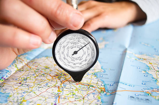
One of the key advantages of distance calculation applications is their ability to accurately measure distances between two or more locations.
Whether you need to determine the distance between two cities for planning a road trip or calculate the distance between multiple destinations for optimizing delivery routes, these applications provide precise measurements, saving time and effort.
Moreover, you can include additional features like real-time traffic updates, alternative route suggestions, and estimated travel times. This information allows users to make informed decisions and choose the most efficient routes based on current traffic conditions, ultimately reducing travel time and avoiding congested areas.
By creating your distance calculation application, you can tap into the benefits of these tools while customizing them to meet your specific requirements or even offer a unique service to others in need of accurate distance calculations.
Also, there are a few needs to need to fulfill. You’ll need to gather a comprehensive database of locations and their corresponding coordinates. Next, you’ll need to implement a distance calculation algorithm, which takes into account the curvature of the Earth and provides accurate distance measurements between two points.
It is a process that is vital that you know how you can add the incredible tools that an API offers so that you can offer these services and more, most easily.

How Can You Use A Distances API To Measure Distances?
A notable benefit of a distances API is the ability to calculate distances in various units of measurement, such as miles, or kilometers. This flexibility caters to different user preferences and ensures compatibility with local measurement systems.
Once the core functionality is in place, you can enhance your application by integrating additional features like real-time traffic data, route optimization algorithms, and user-friendly interfaces, which we are sure will be highly compatible with the services that the API offers you.
Now let us tell you about the API we chose for testing. It’s called The Distance API, and it’s available on the ZylaLabs Hub. We chose it since we found it fast and give reliable answers. Let’s see an example:
Entering latitude and longitude values into the “Get Distance In Miles” endpoint, for example, will provide the following response:
{
  "latitudeA": 31.5186,
  "longitudeA": 81.8132,
  "latitudeB": 30.0522,
  "longitudeB": 78.2437,
  "distance": 234.84,
  "uom": "mi"
}
Or you can use the “Get Distance In Kilometres” endpoint, for example, and you will receive the following response:
{
  "latitudeA": 30.5279,
  "longitudeA": 81.8102,
  "latitudeB": 28.0518,
  "longitudeB": 1162406,
  "distance": 10595.17,
  "uom": "km"
}
Thus, either of the two endpoints will show you in Kilometers (Km) or Miles (Mi) the distance between the selected points.
Where Can You Find The Distances API?
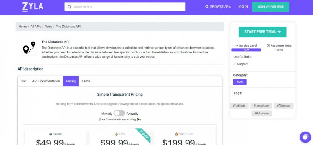
- You will be able to use the API after joining Zyla API Hub!
- Select the API endpoint you need.
- Then, by selecting the “test endpoint” button, you will make an API request; and see the results shown on the screen.
Related Post: Get Location Information From A Number Using A Mobile Phone Validation API