Are you a ship owner and want to know how to use a ship tracking API to improve navigation systems? In this article, we’ll show you how to use a vessel finder API and which is the best one.
Vessel finders are tools that allow ship owners and captains to monitor the location of their ships. They can use this information to track the ship’s progress, and they can also use it to monitor the ship’s position in case of emergency.
How Can You Use A Vessel Finders?
There are many ways to use a vessel finder . One way is to use it for navigation purposes. A vessel finder can be used to track the location of a ship at any time, which can be helpful for navigation purposes. Another way to use a vessel finder is for security purposes.
Why This API Is Useful To Developers?
- It enables real-time vessel tracking so you can ensure they arrive at their location without incident.
- You can use it to learn more about other spacecraft to be prepared for any possible threats.
- You can use it to get weather information so you can map out your path effectively.
- You can also get up-to-date information to plan your travels effectively.
In this case, we need an API that allows us to get information about other vessels in real time from anywhere in the world. The best option for this is Vessel Traffic Information API.
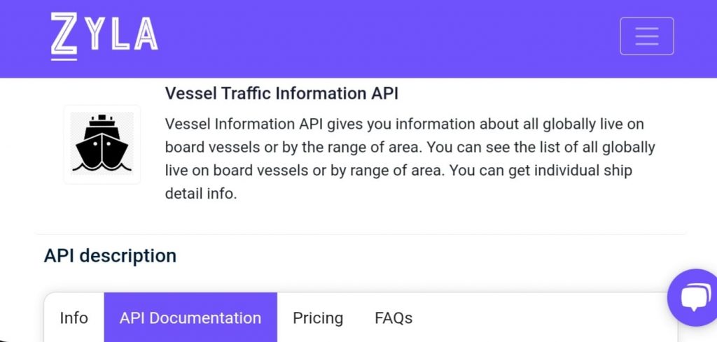
About Vessel Traffic Information API
Vessel Traffic Information API allows you to get information about other vessels in real-time anywhere in the world. You can get information about their position, course, speed, and more. This information will be very useful for maritime safety and security as well as search and rescue operations.
The ship number, latitude, and longitude are inputted into Vessel Traffic Information API , and you will obtain a list of all the vessels nearby. Find out the ship’s maximum draught, length, destination and departure ports, as well as other details.
Vessel Traffic Information API: How Do I Use It?
1.Visit the Zyla API Hub first. It is a marketplace for APIs. Locate and sign up for the Vessel Traffic Information API. (this API offers a 7-day trial).
2.You will then receive your personal API key so that you may access the tool.
3.The chosen endpoint should be used. It might be:
- GET VESSEL DATA BY SHIP ID.
- GET VESSELS BY GEO LOCATION.
- GET VESSEL DATA BY SHIP NAME
- GET VESSEL BY IMO CODE.
- GET CURRENT ROUTE BY IMO CODE.
4.Complete the required data and make the API call. This API will give you the information in just seconds!
Let’s examine the Zyla Labs Vessel Traffic Information API’s “GET VESSEL DATA BY SHIP NAME” responses in more detail. For example if you choose this endpoint you may receive the following responses:
API Responses:
{
"ship_name": "CL DALIAN",
"total_vessel": 1,
"vessels": [
{
"COURSE": "95",
"DESTINATION": "ES ALG",
"DWT": "81700",
"ELAPSED": "550",
"FLAG": "HK",
"GT_SHIPTYPE": "6",
"HEADING": "95",
"LAT": 40.58742,
"LENGTH": "229",
"LON": -33.16847,
"L_FORE": "198",
"ROT": "0",
"SHIPNAME": "CL DALIAN",
"SHIPTYPE": "7",
"SHIP_ID": "726545",
"SPEED": "110",
"TYPE_NAME": "Cargo",
"WIDTH": "32",
"W_LEFT": "12"
}
]
}
Zyla API Hub accepts all common debit and credit cards. This payment system uses the most cutting-edge security technology and is powered by Stripe, one of the most well-known payment processors in the world. Let`s start!