With the expansion of maritime traffic there comes the need for a way to track down vessels throughout the world without resorting to sophisticated instruments.
Those involved in these activities surely request from developers to devise tools than can ease down the way to gather information about their own ships and the competitors´. Thus the need of a vessel traffic information software to use as a starting point.
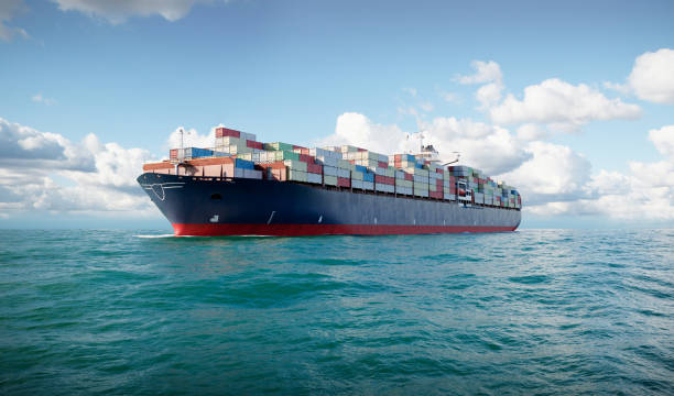
Vessel Traffic Information API is a tool that tracks the location and all data of all vessels in real-time. This is used by a variety of different industries, including maritime security, shipping, and fisheries management.
Vessel Traffic Information API is a strong software that can help users track vessels around the world. It can provide information on the location, speed, heading, and other sensitive data about vessels so as to track vessels´ movements and improve maritime safety. It´s a powerful tool that can help track vessels around the world to monitor the traffic of ships and improve maritime safety.
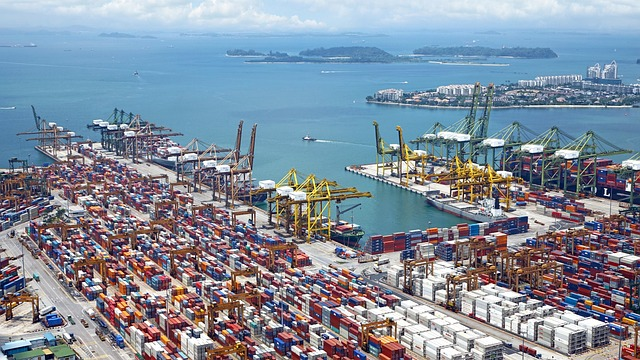
It is also useful for maritime surveillance and security. Vessel Traffic Information API can provide information on vessel movements, allowing security personnel to monitor potential threats to national security. A vessel traffic information system (VTIS) collects and distributes data on vessel movements. The system uses sensors and satellites to track vessel movements, providing information on locations, speed and routes. This data is used to monitor and manage vessel traffic, helping to ensure safety and efficiency in maritime transportation.
VTIS is used by a number of different parties, including port authorities, navies and coast guards, for a variety of purposes such as tracking movements, monitoring compliance with regulations, as well as for monitoring environmental conditions.
There are many benefits to using a VTIS system. First, it helps port authorities manage traffic in their ports more efficiently. Second, it helps port authorities monitor environmental conditions in their ports more effectively. Third, it helps port authorities protect their ports from potential security threats.
By entering the vessel´s name or ship number one gets real-time position updates as well as information on the ship’s size and cargo load. This software covers all sorts of ships across oceans or boats along riverways. It integrates easily in any system and platform. Fishing companies find it accurate to learn about the best fishing spots. The API furnishes all the data about a specific ship or ships: name, flag, owner, IMO code, type, gross tonnage, length, draught, speed, course, heading and location, not just one´s own but also about competitors´ which will render an efficient way to plan ahead and to avoid eventual damages.
How To Get Started
Counting on a subscription on Zyla API Hub marketplace, just start using, connecting and managing APIs. Subscribe to Vessel Traffic Information API by simply clicking on the button “Start Free Trial”. Then meet the needed endpoint and simply provide the search reference. Make the API call by pressing the button “test endpoint” and see the results on display. The AI will process and retrieve an accurate report using this data.
Vessel Traffic Information API examines the input and processes the request using the resources available (AI and ML). In no time at all the application will retrieve an accurate response.
By choosing an endpoint in the API (GET VESSEL DATA BY IMO CODE, GET CURRENT ROUTE BY IMO CODE or GET POSITION) and then inputting the identification number of the vessel, the software will output a full report with all the necessary information. In this case the endpoint is Get Vessel Data By IMO Code and the vessel is 9270622. The response will look like this:
{
"status": 200,
"success": true,
"message": "IMO Code 9270622 is valid",
"data": {
"imo_number": "9270622",
"vessel_name": "AQUAMAN",
"ship_type": "Offshore Tug/Supply Ship",
"flag": "Vanuatu",
"gross_tonnage": "2332",
"summer_deadweight_t": "2162",
"length_overall_m": "69",
"beam_m": "16",
"year_of_built": "2003"
}
}