
Keep reading and you’ll find the answer and our pick for the best ship-tracking API below.
The maritime industry is complex, dynamic, and constantly evolving. Keeping track of vessels and gathering accurate and timely maritime data is crucial for businesses operating in this industry. Ship tracking APIs have emerged as a powerful tool for gathering real-time vessel data, providing a wealth of benefits that can drive business success.
So, what exactly are the benefits of using a ship tracking API to gather maritime data? Let’s dive in and explore how ship-tracking APIs can revolutionize your business operations.

Ship tracking APIs provide access to real-time vessel data, including vessel locations, speeds, headings, routes, and other relevant information. This real-time data allows businesses to monitor vessel movements in real-time, enabling them to make informed decisions and take timely actions. For example, shipping companies can optimize their fleet management by tracking vessels’ positions and speeds, making adjustments to routes, and avoiding delays. Real-time maritime data obtained from ship tracking APIs empower businesses with the most up-to-date information, giving them a competitive advantage in a fast-paced industry.
Maritime data is also of paramount importance when it comes to safety and security:
Ship tracking APIs can play a crucial role in enhancing safety and security measures for vessels, crews, and cargo. Real-time vessel data obtained from ship tracking APIs can be used to create geofences or virtual perimeters around restricted areas or high-risk zones. Automatic alerts can be triggered when vessels enter or exit these areas, helping prevent unauthorized access and ensuring compliance with regulations.
In emergency situations, ship tracking APIs can provide critical information for search and rescue operations, enabling swift response and assistance to vessels in distress. The ability to monitor vessel movements in real time enhances safety and security measures, mitigates risks, and protects assets and human lives.
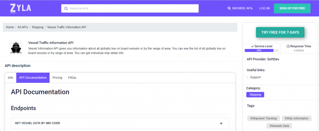
Since being on the edge of information access is so important in this day and age, ship-tracking APIs have to be flexible to remain competitive. With this in mind, our pick for flexibility and ease of use is Zyla’s Vessel Traffic Information API.
What Are The Use Cases For This API?
Vessel Tracking Information API, as stated above, is very flexible. It has three main functions, which result in different types of output, which can in turn be used to satisfy different needs:
- GET VESSEL DATA BY IMO CODE: with this mode, you need a ship’s IMO code as input, and as output you’ll get information on the ship in question, such as its location, and general information about it, as its length, it’s maxing draught, the year it was launched, and more.
- GET CURRENT ROUTE BY IMO CODE: with this function, which also requires an IMO code, you’ll get information like the departure port and destination of a particular ship.
- GET POSITION: this function asks for a particular set of coordinates, that is, latitude and longitude, and as output, you’ll get a list of all the ships that happen to be in that area.
In the following example, we picked the cruise ship MS Queen Victoria’s IMO number (9320556) to find out where she’s headed with the second function, GET CURRENT ROUTE BY IMO CODE:
{
  "status": 200,
  "success": true,
  "message": "IMO Code 9320556 is valid",
  "data": {
    "departure_port": "As Suways (Suez) Anch., Egypt",
    "departure_atd": "ATD: Apr 13, 03:44 UTC (1 day ago)",
    "callsign": "ZCEF3",
    "flag": "Bermuda",
    "length_beam": "294 / 32 m",
    "imo_mmsi": "9320556 / 310624000",
    "navigation_status": "Under way",
    "current_draught": "8.0 m",
    "course_speed": " ",
    "arrival_port": "Napoli, Italy",
    "arrival_atd": "ETA: Apr 16, 04:00",
    "latest_port_calls": [
      {
        "port_name": "As Suways (Suez) Anch., Egypt",
        "arrival_utc": "2023-04-12T17:15:00.000000Z",
        "departure_utc": "2023-04-13T03:44:00.000000Z",
        "time_in_port": "10 hours, 29 minutes"
      },
      {
        "port_name": "Aqaba, Jordan",
        "arrival_utc": "2023-04-11T03:23:00.000000Z",
        "departure_utc": "2023-04-11T18:29:00.000000Z",
        "time_in_port": "15 hours, 6 minutes"
      },
      {
        "port_name": "Salalah, Oman",
        "arrival_utc": "2023-04-06T02:26:00.000000Z",
        "departure_utc": "2023-04-06T14:38:00.000000Z",
        "time_in_port": "12 hours, 12 minutes"
      },
      {
        "port_name": "Abu Dhabi, United Arab Emirates (UAE)",
        "arrival_utc": "2023-04-01T00:53:00.000000Z",
        "departure_utc": "2023-04-01T16:56:00.000000Z",
        "time_in_port": "16 hours, 3 minutes"
      },
      {
        "port_name": "Singapore, Singapore",
        "arrival_utc": "2023-03-21T03:07:00.000000Z",
        "departure_utc": "2023-03-23T10:34:00.000000Z",
        "time_in_port": "2 days, 7 hours, 27 minutes"
      }
    ]
  }
}
As you can see, the data provided has a degree of accuracy that any maritime business can put to good use. You can try it out for a 7-day trial with the following instructions:
1- Go to Vessel Traffic Information API and simply click on the button “Try Free For 7-Days” to start using the API.
2- Employ the different API endpoints depending on what you are looking for.
3- Once you meet your needed endpoint, make the API call by pressing the button “run” and see the results on your screen.